3 Day Navigation, Bush Craft & River Crossing Course March 15, 2025
This is a 3-day navigation, bushcraft and river crossing course
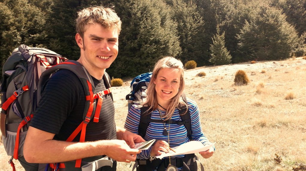
3-day bushcraft, navigation & river crossing course overview
The 3-day navigation, bushcraft and river crossing course is an introductory course. It combines our 2-day navigation & bushcraft course and our 1-day river crossing course. You do not need prior skills or experience to attend this course. On completion, you will have the foundation tramping skills to hike some of New Zealand’s most infamous tracks.
***This is our most popular beginner bushcraft training course. Prior experience is not necessary, and we have all the gear and equipment available for you to use.***
PRICE $1049* (MINIMUM AGE 16 YEARS)
Youth Price $524.50* (14-15 years, accompanied by an adult)
Ask about our Family Friendly courses for ages less than 14 years.
* This is the early bird booking price, standard rates available on the course calendar.
**Conditions apply for youth pricing structure. See FAQ’s page.
Bushcraft & River Crossing Course Location
This course is delivered in the Craigieburn Forest Park and Arthur’s Pass National Park area.
Note: Free return transport is available from Christchurch.
Day 1 & 2 – Bushcraft and Navigation training
The course starts in Darfield (30 mins from Christchurch) at 8 am. We spend the first two days in Craigieburn Forest Park (near Castle Hill Village).
Day 3 -River Crossing
On day 3, we head down to the Waimakariri River at Mt White Bridge, Arthurs Pass. The day is spent focusing on river Crossing.
The course finishes at 3:30 pm in Arthurs Pass or Castle Hill village (approx 1.5-2hrs from Christchurch airport).
Accommodation
1st Night – Wild Camping
The first night of this course you will be wild camping in the Craigieburn Forest Park.
Note: we have tents & camp gear available if you don’t have your own.
2nd Night – Arthurs Pass Lodge
On the 2nd night, we stay in our lodge in Arthur’s Pass Village.
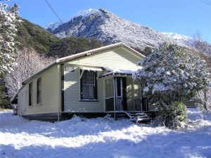
The lodge has bunk beds set up across 3 bedrooms and can sleep up to 20 people. It has a kitchen stocked with utensils, cookware, a fridge, & ovens. You will also be treated to power, bathroom facilities, hot showers and heating.
Most groups choose to eat out at the local pub in Arthurs Pass on the 2nd night.
**Your accommodation is included**
Gear & Equipment
Please bring along your normal tramping kit with a tent for our campout. If you don’t have everything you need, we can hire you some equipment to help set you up for the 3 days. For those travelling by plane, we are happy to organise gas canisters for your overnight campout.
Note: A full packing list is available to download at the bottom of this page.
Food
This is a self-catered course. Please pack all your food for the duration of the course. We recommend packing plenty of snacks and lunches that don’t require cooking. For dinner on the 1st night, we recommend something convenient and easy to cook on a camp cooker.
For the second night, you may like to use the facilities at the lodge to prepare your own meal. The lodge has a full kitchen & fridge that you are welcome to use.
Transport
Free transport is available from any Christchurch accommodation if you’re travelling from out of town to attend one of our courses.
Meeting locations
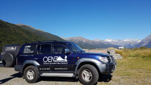
Please meet us at one of the following locations if you have your own transport:
- Yaldhurst Mcdonalds 8:00 am
- Darfield Bakery 8:30 am
- Castle Hill Village 9:20 am
*Our preferred meeting location is Darfield Bakery.
Travelling From out of town?
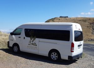
We recommend that you arrive in Christchurch the day before your course. We have a few hotel & hostel suggestions on our FAQ’s page. Please avoid booking accommodation north or east of the city centre. At the end of the course, we are more than happy to drop you back at your accommodation or directly to the airport. The earliest time we can have you back at the airport is 6 pm.
This Bushcraft & River Crossing course includes
Reading Topographic maps (NZ topo50)
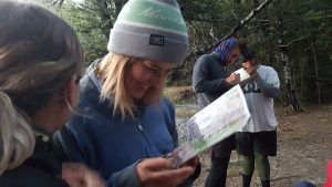
- Colours and symbols
- Scale and distance
- Orientating a map using features
- 6 figure grid references
Interpreting contour features
- Ridges
- Spurs
- Gullies
- Valleys
- Saddles
- Highpoints
Using a compass
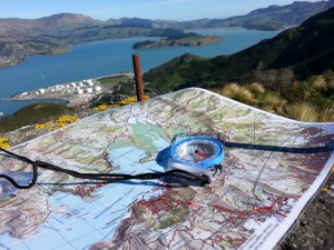
- Finding North
- Orientating map with compass
- Follow a compass bearing
- Field: map bearings
- Map: Field bearings
- Taking resections/triangulations
Clothing & Equipment selection
- Packs
- Boots
- Walking poles
- Personal clothing
- Emergency communications
- Using a GPS/Smartphone GPS
Camping skills
- Selecting a suitable campsite
- Field weather observations and predictions
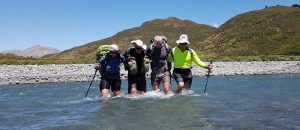
River Crossing
- Hazards
- River characteristics
- River crossing principles
- Decision Making
- River crossing methods
- Recovery
COURSE DOWNLOADS

See what our clients have to say
“Finished our 3-day course yesterday and just wanted to let you know how much we enjoyed it. Sarah [the instructor] was AMAZING. We will be looking for more courses to do with you guys for sure!” – Di & Peter, Wanaka
“Getting back into navigation with a map & compass was fantastic!” Robert Johnson, Australia
“I learnt heaps, thank you the course was great” Elizabeth – West Coast
“So worth it to prepare us for the Te Araroa Trail, we’ve learnt so much.” Jess & Kym, United Kingdom.


